The heart of this guide: a unique nature reserve full of birds and large grazers, on the border of Friesland and Groningen.
The Lauwersmeer came into being in 1969 when the former Lauwerszee was closed off from the Wadden Sea. What was once seabed is now a unique nature reserve full of birds and large grazers, wonderful for cycling, walking or boating by day. All the routes below – on foot, by bike or on the water – take you through this park.
Tip:visitor centre Lauwersnest is a good starting point for routes and information about the area.
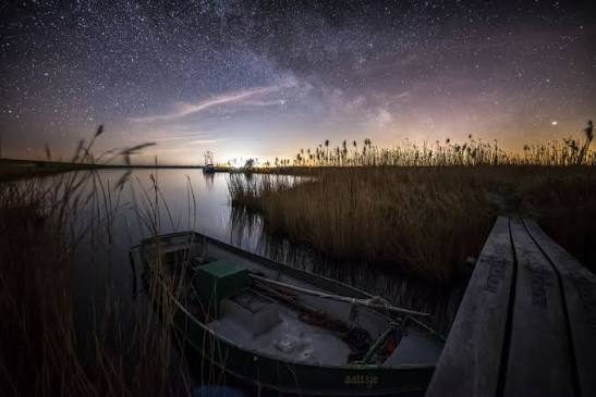
Dark Sky Park since 2016
Where the stars still truly sparkle
Lauwersmeer National Park has been officially designated a Dark Sky Park by the International Dark Sky Association – one of only two in the Netherlands. With almost no artificial light, you can see the Milky Way here with the naked eye on a clear night, and on good evenings even catch a glimpse of the Northern Lights. Scattered around the park are special “sky platforms” (at Vlinderbalg, Achter den Zwarten and Zoutkamperplaat) where you can use a tiltable headrest to look up without straining your neck. The darkest nights are in winter; at Lauwersnest you can buy a planisphere (star chart) for €8.95 to see exactly what you're looking at.
Atmospheric photo, Lauwersoog at night
Walking · Cycling · Boating
Routes through the area
Ten genuine routes, each with an interactive map. Click a route for the full description, photos and practical info.
Walking · 6–7 km
Mudflat walk Paesens-Moddergat
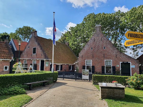
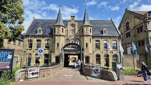
Museum 't Fiskershûske
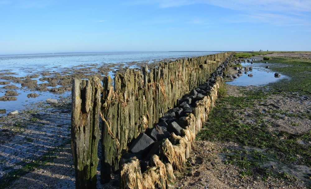
The pier onto the mudflats
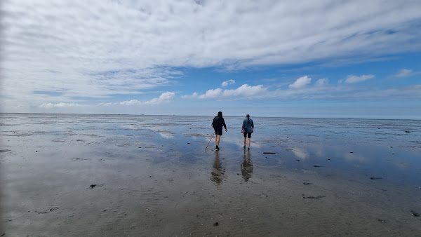
View over the mudflats
About 20 minutes' drive north of Kollum lies the twin village of Paesens-Moddergat, historically a fishing village with authentic cottages and the ’t Fiskershûske fishing museum. Walk from the museum up onto the dyke – only there do you see the Wadden Sea in its full glory, with views of Schiermonnikoog and Ameland. Continue along the dyke to the unique, one-and-a-half-kilometre-long pier that reaches out onto the mudflats, without wet feet.
Practical: circular walk of roughly 6–7 km (dyke plus the pier there and back). The pier is a paved path so walkable at any point in the tide – only for mudflat hiking itself, further onto the flats beyond the pier, you need a guide and are bound to low tide.
1 Museum ’t Fiskershûske · 2 View over the Wadden Sea dyke · 3 Mudflat-hiking pier · loop back to 1
Walking · 10 km
Boswachterspad Kollumeroord
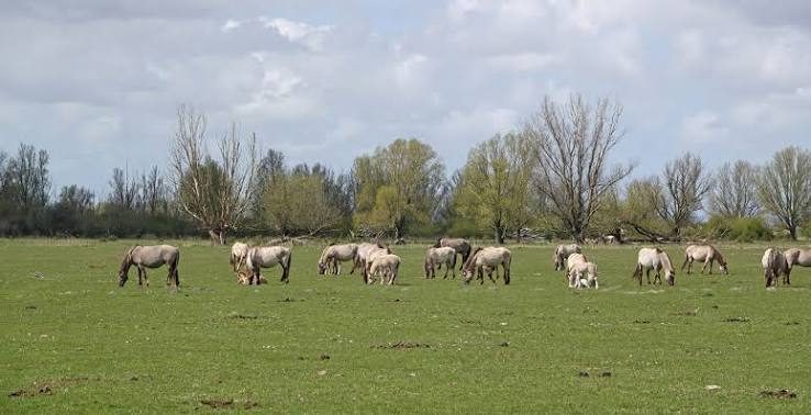
Konik horses, Kollumerwaard
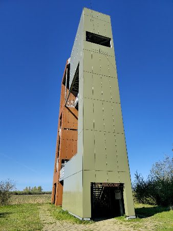
Reiddomptoren
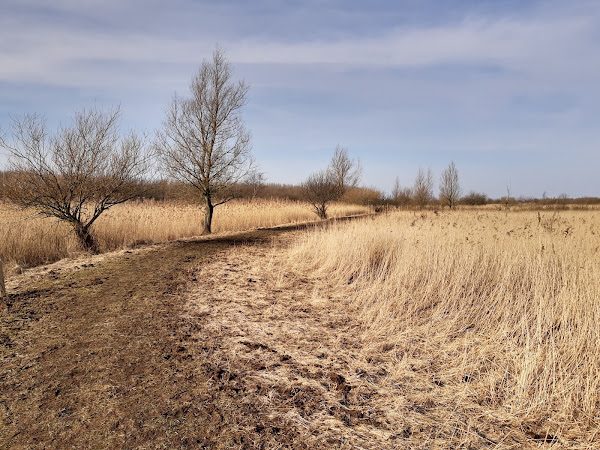
Natuurlijk Kollumeroord
A beautiful walk of roughly 10 km through the Kollumeroord nature reserve, laid out by forester Jaap Kloosterhuis – and less than 10 minutes' drive from Kollum. Most of it is a loop; along the way there are two short side paths to the best viewpoints: the viewing hill by the Zomerhuisbos (view of the Dokkumerdiep) and the Reiddomp lookout tower, with views as far as Schiermonnikoog. Along the way you pass through the Kollumerwaard – where wild konik horses and Scottish Highland cattle graze – and the loop closes again at Natuurlijk Kollumeroord (with restaurant ’t Roode Hoofd).
Practical: approx. 10 km, mostly unpaved path (can be muddy, best walkable in summer), sturdy shoes recommended, dogs not allowed because of the grazing animals.
1 Kwelderweg car park (start) · 2 Zomerhuisbos viewpoint hill · 3 Kollumerwaard · 4 Reiddomptoren · 5 Natuurlijk Kollumeroord · loop back to 1 View the official route description →
Walking · 8 km
Jilt Dijksheide & Trimunt – Westerkwartier
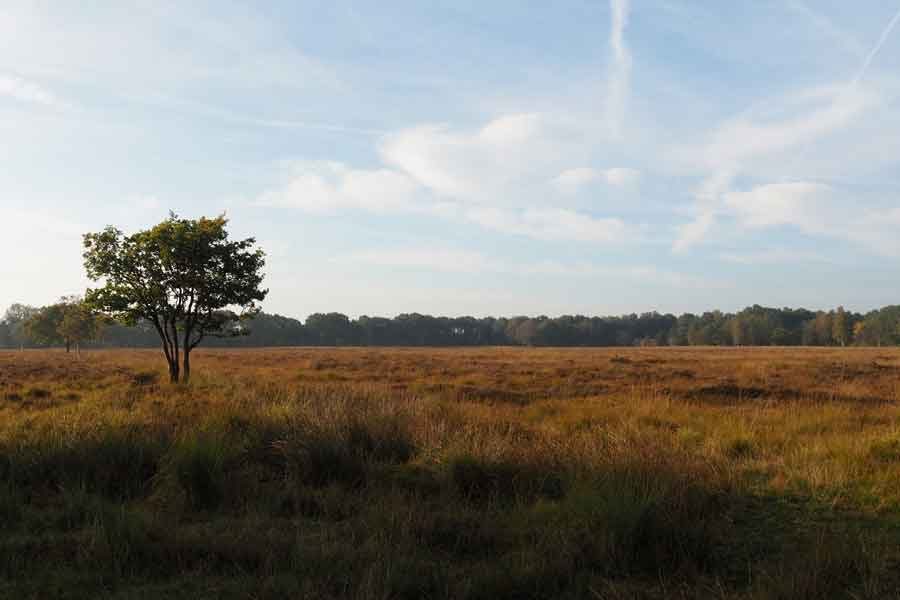
A surprising heathland: the Jilt Dijksheide near Opende is the last remaining heathland of the Westerkwartier, named after the last peat farmer who cut turf here. The route connects to the adjoining Trimunt reclamation forest, with paths past ponds still dating from the ice age and the ‘Zestien van Marum’ war memorial.
Practical: combined route Jilt Dijksheide (2.3 km) + Trimunt heath route (6 km) – approx. 8 km. Starting point Kolonieweg (near house no. 20), Opende, with a second access point at the Bos Trimunt car park – approx. 18 km from Kollum. Dogs not allowed everywhere on the heath.
Source: staatsbosbeheer.nl
1 Kolonieweg, Opende (start) · 2 Heathland · 3 Viewpoint over the heath · 4 Trimunt border · 5 P Bos Trimunt · 6 Trimunt ice-age pond · 7 Zestien van Marum · loop back to 1 View the official route description →
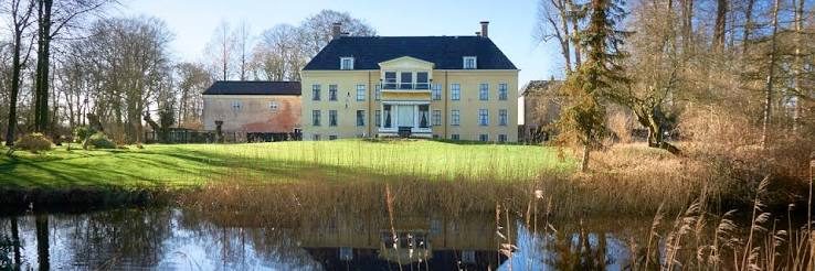
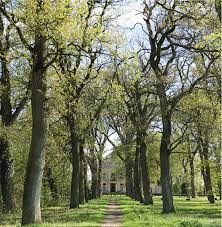
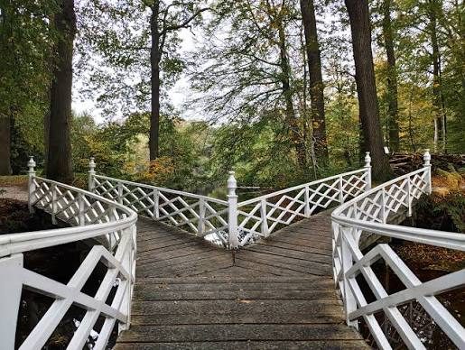
This pilgrim route (part of the Bonifatius Kloosterpad) starts at TOP Buitenpost and largely follows the little river Swadde to the village of Veenklooster. Olijfberg monastery once stood here, founded by the Norbertines on a strategically placed sandy rise amid the peat marshes. The monastery grounds were later sold to the Fogelsangh family, who turned it into the Fogelsangh State estate – the current, 19th-century manor house can still be visited. Around it lies the atmospheric Veenkloosterbos, laid out in the English landscape style by garden architect Roodbaard, with winding paths and an elegant white bridge.
Practical: circular walk of roughly 15 km, partly on unpaved paths. Starting point TOP Buitenpost (station + parking). Note: after junction 46 the route largely deviates from the junction network – use the walking guide or a gpx track to navigate. Dogs on a lead allowed.
Source: friesland.nl, bonifatiuskloosterpad.nl
1 TOP Buitenpost, Keningswei (start) · 2 Along the Swadde · 3 Veenklooster / Fogelsangh State · 4 Veenkloosterbos (Mûntsewei) · 5 back towards Buitenpost · loop back to 1 View the official route description →
Walking · 1.6–3.4 km
Barefoot path
Along the path
Through the water
Over the tree trunks
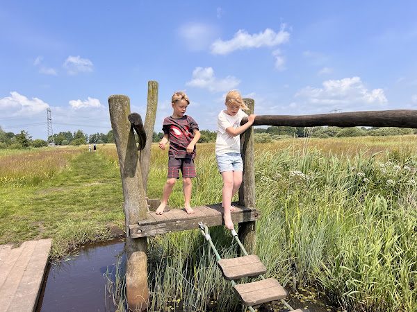
Shoes and socks off! At Theetuin Blotevoetenhof in Opende you walk barefoot through the mud, over grass and water, climb over tree trunks and cross a ditch on a rope. Highly recommended on a rainy day – that means extra mud. Afterwards, warm up nicely with a slice of cake in the tea garden.
Practical: long route 3.4 km, short route 1.6 km. Two starting points: Peebos 1a or Kaleweg, Opende – approx. 18 km from Kollum.
1 Theetuin Blotevoetenhof (start) · 2 Through the mud · 3 Water crossing · 4 Over the tree trunks · loop back to 1
Walking · guided
Mudflat hiking
Onto the mudflats
View over the mudflats
Museum ’t Fiskershûske, Moddergat
Barefoot through the mud onto the Wadden Sea World Heritage site – mudflat hiking is a unique way to experience this remarkable tidal landscape. From the coast at Wierum, Holwerd or Moddergat you walk, guided by an experienced guide, across the seabed, between lugworm casts, shells and sometimes even seals, heading towards Ameland or Schiermonnikoog. Along the way the guide tells you about how the mudflats formed and the animals and plants that live there.
Practical: mudflat hiking is only possible with a licensed guide, dependent on the tides. Book in advance with one of the mudflat-hiking organisations in Friesland (for example from Wierum or Holwerd). Old trainers or special mudflat-hiking shoes are recommended.
Walking · 5.5–6 km
Dokkum city walk – ramparts, Oranjewal & town centre
Bonifatiuskapel
Molen De Hoop
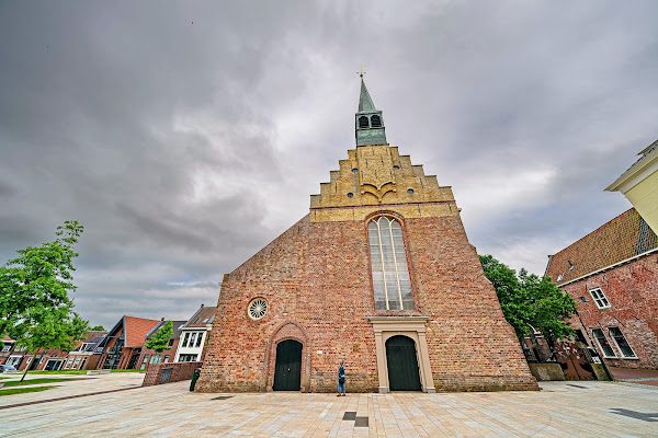
Grote (Sint Martinus) church
Admiraliteitshuis
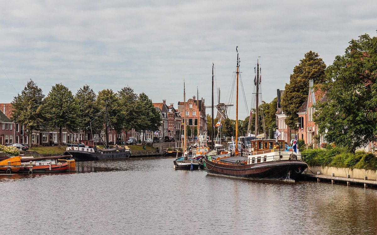
Dokkum is the northernmost city in the Netherlands and one of the best-preserved fortified towns, just over 10 km from Kollum. This walk follows the hexagonal ramparts along the Oranjewal and the De Hoop grain mill, makes a detour to the Bonifatiuskapel, and dives into the town centre past the Grote (Sint Martinus) church, the Zijl with its characteristic town hall and carillon, and the Admiraliteitshuis – before the loop closes again at the car park. Plenty of room for a terrace stop or shopping on the Hoogstraat along the way.
Practical: circular walk of approx. 5.5–6 km, starting point De Harddraver car park. The Admiraliteitshuis is open daily (from 1pm on Sundays).
Source: anwb.nl, wandel.nl, dokkum.nl
1 P De Harddraver (start) · 2 Bonifatiuskapel · 3 Molen De Hoop · 4 Oranjewal · 5 Grote Kerk · 6 Centre/De Zijl · 7 Admiraliteitshuis · loop back to 1
Cycling · 15–18 km
From Kollum to Dokkum via Dokkumer Nieuwe Zijlen
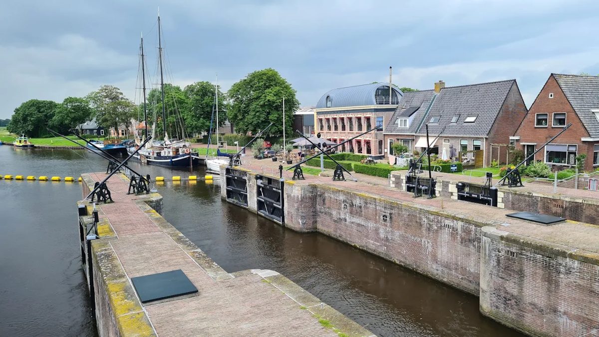
Dokkumer Nieuwe Zijlen
Arrival in Dokkum
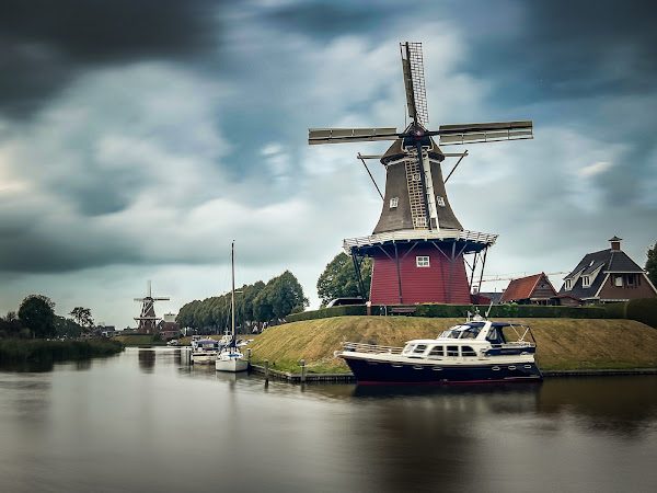
A beautiful, quiet route from Kollum to Dokkum that doesn't take the shortest way, but instead passes the locks of Dokkumer Nieuwe Zijlen. These historic sea locks sit on the spot where the former Lauwerszee once flowed into the polder, on the edge of Lauwersmeer National Park. The locks themselves are also a great place to linger: Restaurant Herberg De Pater is a lovely spot for lunch or a coffee along the way.
Practical: approx. 15–18 km via the cycle-junction network.
The classic of the area: the official 43.8 km junction route around the Lauwersmeer, extended here so you simply depart from and return to Kollum. Via Kollumerpomp and Munnekezijl you cycle to Zoutkamp, then along Lauwersoog and back via Esonstad/Anjum. Two perfect rest stops along the way: in Zoutkamp at Restaurant/ice cream parlour De Boeter on the quay, and in the harbour of Lauwersoog at ’t Ailand for fresh oysters and fried fish with a sea view.
Practical: official loop 43.8 km, with an access route from Kollum on either side of about 20–25 km combined – a solid day trip of roughly 65–70 km in total, or combine with the car to Zoutkamp/Munnekezijl as a starting point.
1 Kollum · 2 Kollumerpomp · 3 Munnekezijl · 4 Zoutkamp (fish and chips) · 5 Lauwersoog · 6 ’t Ailand · 7 Esonstad/Anjum · loop back to 1
Cycling · 55–60 km
Along the Wadden Sea and the Lauwersmeer – from Kollum
This route combines three highlights of North Friesland: the Wadden Sea, the edge of the Lauwersmeer area and the open polder landscape. From Kollum you first cycle via Oostrum to Metslawier, then via Hantum to the westernmost point Holwerd, back along the coast via Ternaard to Moddergat, and via Anjum and Engwierum back to Kollum – a round loop without cycling any stretch twice.
Practical: a loop starting and finishing in Kollum, a solid day trip of roughly 55–60 km in total. Food and drink stops at Metslawier and Engwierum along the way.
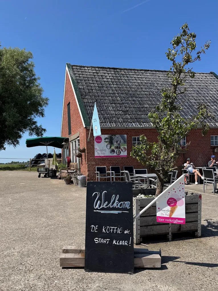
For the cyclist who also wants to taste: this route takes you past local Frisian producers in the Lauwersmeer area. We could confirm two with certainty: the organic fruit paradise Lauwershof near Ingwierrum (berries, cherries, apples, pears) and farm shop Frisia Angus near Eanjum, known for the meat from their own herd of Aberdeen Angus cattle. The official route counts six sales points in total.
Practical: official route 42 km, an initiative of the Frisian Environmental Federation and Eetbaar Fryslân.
Source: eetbaarfryslan.frl, visitwadden.nl
1 Kollum · 2 Lauwershof (fruit) · 3 Frisia Angus (cheese & meat) · loop back to 1 Open the full route page →
Boating
Sailing to Dokkum, or a loop around Kollum by canoe or SUP
Dokkumer Nieuwe Zijlen, along the way
Arrival in Dokkum
One of the best things you can do here: get out on the water. Sail a motorboat or sloop via the Dokkumer Ee all the way to Dokkum, moor up in the city and finish with lunch on a waterside terrace – then head back. Prefer a quiet loop close by? Grab a canoe, Canadian canoe or SUP board and paddle along the Rijd and the Trekvaart, straight from the jetty.
Practical: boat, sloop, canoe and SUP can be hired at Minicamping Uit & Thuis in Kollum, where you can also simply depart from their own jetty.
A lively village of almost 6,000 residents, right in the heart of Northeast Friesland and directly bordering Lauwersmeer National Park.
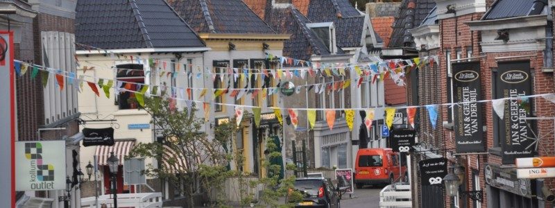
Kollum has been a trading place since the early Middle Ages – once in butter, cheese and grain, now mostly in conviviality. The Voorstraat, once the connecting road between Dokkum and Groningen, is still the beating heart of the village: a genuine shopping street with characteristic stepped and cornice gables (the village counts 31 national monuments), complemented by terraces, bakeries and the eateries further down this page.
Kollum is also the region's core village: the place with by far the most amenities of the wider area. Supermarkets, a pharmacy, department store, GPs, library, swimming pool it Paradyske and plenty of eateries – you don't need to leave for Dokkum for your daily shopping. Below, under Amenities, we've put together the handiest overview for you.
Kollum also has a second face: that of a watersports village. From marina De Rijd you can sail straight onto the Trekvaart towards the Lauwersmeer – via the fixed-mast route you're there in about half an hour. In summer you can even join a boat tour through the village itself. Also take a look at the medieval Maartenskerk, or dive into local history at Oudheidkamer Mr. Andreae, in the former post office.
The Voorstraat, Kollum's shopping street
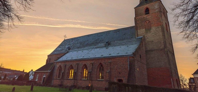
The Maartenskerk
Click to load all maps on this page. This will make a connection to OpenStreetMap.
Show map
City map of Kollum – the Voorstraat runs right through the centre
Source and photos: beleefkollum.nl (HIM Kollum)
Good to know
Amenities in Kollum
Everything you need as a guest is within a few minutes' walk of each other.
Grocery shopping
All the major chains are together in a small shopping centre on the Mr. Andreaestraat, about a 5-minute walk from the Voorstraat.
JumboMr. Andreaestraat 16
PoieszMr. Andreaestraat 12A
AldiWillem Loréweg 2A
HemaMr. Andreaestraat 14C
KruidvatMr. Andreaestraat 14D
ActionMr. Andreaestraat 14B
A stroll through the Voorstraat
Even without a shopping list, the Voorstraat is worth a walk – with characteristic facades and a few spots you'll definitely want to pop into:
Bakkerij van der BijlVoorstraat 88
IJssalon & Chocolaterie van der BijlVoorstraat 92
Bruna (boeken & cadeaus)Voorstraat 82–84
Combine it with one of the eateries under Food in Kollum further down, and you've got a whole afternoon of entertainment without needing the car.
Food & drink
Eating in Kollum
Don't feel like driving far? Kollum itself already has a few really nice spots:
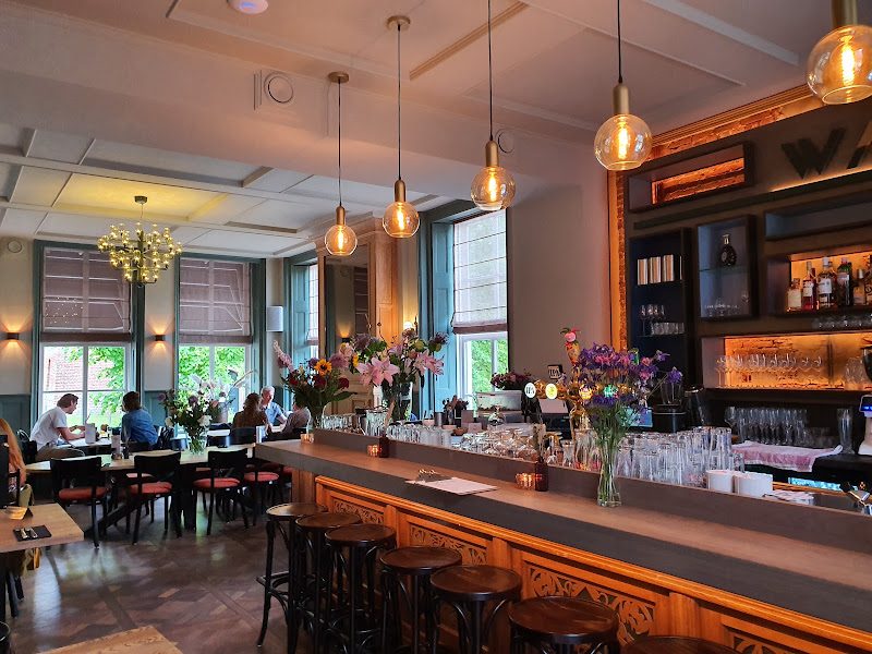
Grand Café WALDVoorstraat 46
A cosy, atmospheric grand café with a surprising menu. Reservations recommended.
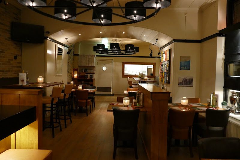
Gasterij ManjefiekVoorstraat 63
Grill, pizza or a lunch, with an informal and friendly atmosphere.
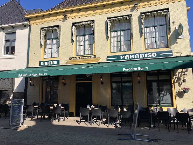
Eetcafé De KoornbeursVoorstraat 65
Traditional Dutch eetcafé right in the middle of the village.
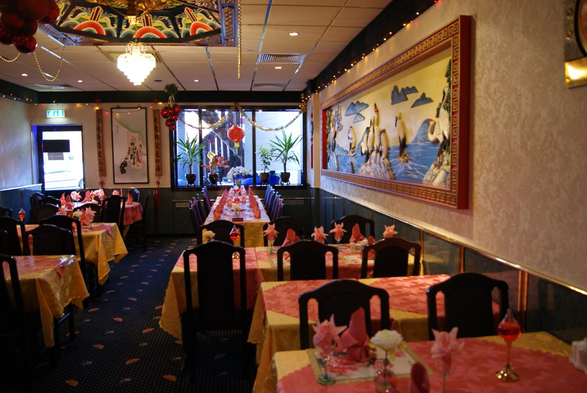
Chinees Indisch Restaurant Golden RiverKerkstraat 1–3
A trusted address for more than 25 years, with a buffet and extensive menu. Also great for takeaway.
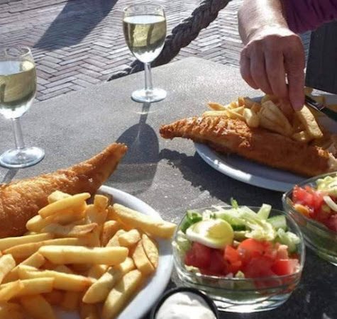
In the fishing harbour of Lauwersoog, close to the ferry terminal to Schiermonnikoog, you'll find several cosy fish shops and restaurants with views over the Wadden Sea – such as ’t Ailand. Think freshly fried fish and chips, oysters and fried fish, often straight off the trawler that same morning.
Practical: take a stroll along the harbour pier after (or before) eating – on a clear day you can already see Schiermonnikoog.
Day trip
Cities & culture
From a fortified town around the corner to the Frisian and Groningen capitals – click for the full story.
Fortified town · 10 km
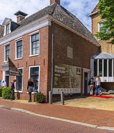
Dokkum
Dokkum
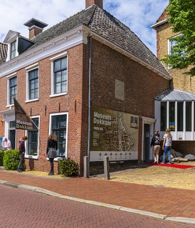
Admiraliteitshuis
Grote Kerk
The Netherlands' northernmost city and one of the best-preserved fortified towns – just over 10 km from Kollum. Great for a day of shopping, lunch on one of the waterside terraces or a visit to the Bonifatiuspark with chapel and spring. The Admiraliteitshuis tells the story of the murder of Bonifatius in 754 and the Frisian admiralty. In summer, on Wednesday and Saturday afternoons, the nostalgic little train ‘het Dockumer Lokaeltsje’ runs through the prettiest spots of the city.
Tip: check out the extensive city walk along the ramparts, the Oranjewal and the town centre under Routes above.
Fishing village · 20 km
Zoutkamp
Zoutkamp harbour
Restaurant De Boeter
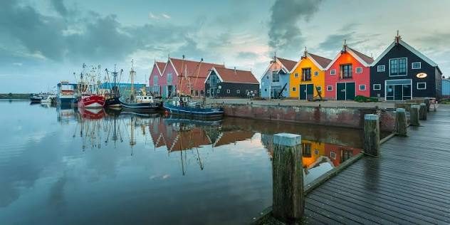
On the way to the Lauwersmeer lies Zoutkamp, a former fishing village with a cosy harbour, colourful houses and the Fisheries Museum. At Restaurant De Boeter you'll find the tastiest fish and chips in the region.
Practical: approx. 20 km from Kollum.
Provincial capital · 45 min.
Leeuwarden
Oldehove
Blokhuispoort
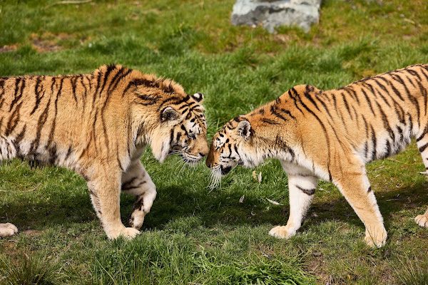
Aquazoo
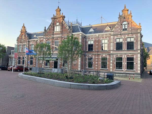
Natuurmuseum Fryslân
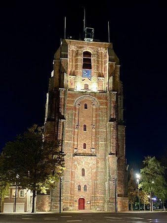
The Frisian capital is about a three-quarter-hour drive away and makes for a great day out. Take a look at the leaning Oldehove tower, wander through the historic town centre, or dive into the city's history at the Historisch Centrum Leeuwarden. Blokhuispoort, now full of cafés, a library and artisan shops, is also well worth a visit. With kids: Aquazoo (a zoo with polar bears and penguins) and the Natuurmuseum Fryslân – voted the best children's museum in the Netherlands.
Practical: several paid parking garages in the centre; the town centre is compact and easily walkable.
Student city · 45 min.
Groningen
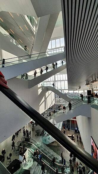
Forum Groningen
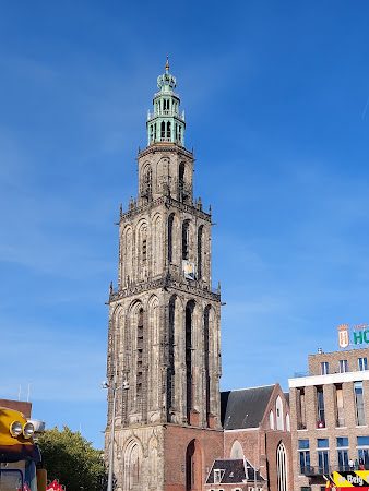
Martinitoren
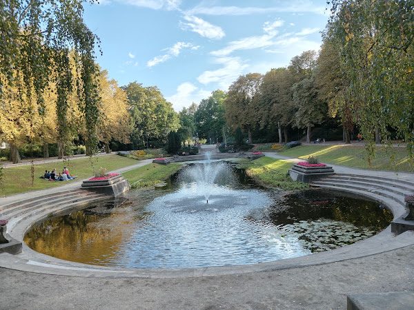
Noorderplantsoen
Fancy a day in the city? Groningen is easy to reach by car (approx. three-quarters of an hour). The absolute highlight is Forum Groningen on the Nieuwe Markt: an impressive cultural building with changing exhibitions and a roof terrace with one of the finest views over the city. Also climb the Martinitoren (‘de Martini’, 97 metres), and unwind in the Noorderplantsoen, a beloved English landscape park close to the centre.
Practical: Forum Groningen is open daily (Mon–Sat from 9am, Sun from 10am). The Martinitoren can be climbed until 5pm.
Day trip to the island
A day on Schiermonnikoog (“Schier”)
Car-free Wadden island barely three-quarters of an hour's sailing from Lauwersoog – the perfect day trip from Kollum.
Click to load all maps on this page. This will make a connection to OpenStreetMap.
Show map
Schiermonnikoog in het echt – het hele eiland is autovrij en op de fiets in een paar uur te verkennen
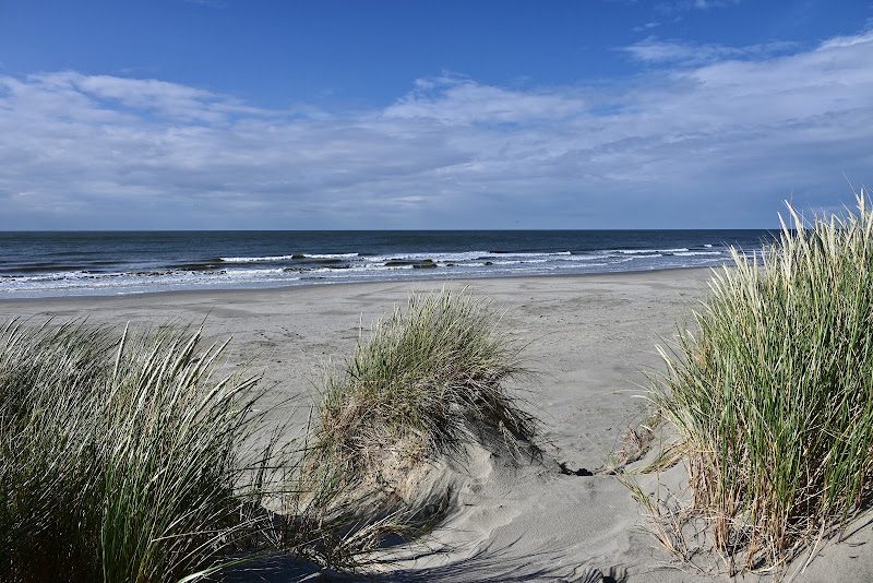
The ferry sails from the harbour of Lauwersoog to the car-free Wadden island of Schiermonnikoog: endless sandy beaches, high dunes, a cosy village and the largest contiguous nature reserve in the Netherlands – Schiermonnikoog National Park. The village itself lies on the west side and is compact and charming, with terraces, shops and a real village church. Bring your bike on the ferry or hire one on the island, and explore the dunes, the village and the beach – with a bit of luck you'll spot seals on the sandbanks at low tide.
Those who want to go further can cycle about 8–9 km to the red Noordertoren (lighthouse) right on the east side, or take a mudflat-hiking or covered-wagon trip across the flats to the mooring point. A day trip is easily doable, but staying the night lets you experience the island's evening calm too – it's notably dark here as well, just like at the Lauwersmeer.
Schiermonnikoog, beach and dunes
Practical: the regular ferry takes approx. 45 minutes. Fast ferry approx. 20 minutes (surcharge). Booking is required.